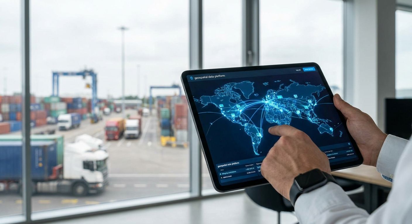
Logistics companies buying geospatial data platforms in 2026 are choosing between enterprise GIS suites, cloud mapping APIs, and open-source stacks — and picking wrong means a fleet system that can't tell a loading dock from a legal parking spot two blocks over.
- Esri ArcGIS wins for large carriers running in-house GIS teams and multi-modal networks in 2026 - Buy.
- Google Maps Platform Fleet Engine is the fastest path to live ETAs without building a routing engine - Consider.
- HERE Technologies is the only pick built around truck-specific restrictions for cross-border freight - Consider.
- Skip consumer-grade mapping APIs for any fleet moving more than a few hundred stops a day - they cap out on commercial licensing.
- Geospatial data platforms for logistics companies should hit 99.9% uptime or missed delivery windows follow.
Why This Matters
A logistics company running geospatial data through the wrong platform doesn't find out until peak season, when routing errors compound across a few hundred stops a day. Last-mile delivery already eats roughly 53% of total shipping cost according to widely cited supply-chain research, and most of that cost sits in routing inefficiency the platform is supposed to eliminate.
The platform decision isn't just a GIS question anymore. It's a data infrastructure question — how the platform ingests live GPS pings, stores historical route data, and feeds that into forecasting models. KnackForge works with enterprises on exactly this layer: connecting geospatial feeds to the data pipelines that actually make routing smarter over time.
Who This Is For
This guide is for fleet operations leads, freight brokers, 3PL data teams, and last-mile delivery managers evaluating geospatial data platforms for logistics companies in 2026 — specifically teams choosing between an enterprise GIS suite, a cloud mapping API, and an open-source stack for the first time, or migrating off a platform that can't keep up with volume.
What to Look For in Geospatial Data Platforms for Logistics Companies
Real-Time Location Accuracy and Refresh Rate
Route optimization models typically need GPS accuracy within 3-5 meters to tell apart adjacent delivery stops in dense urban zones. Anything looser than that and drivers get routed to the wrong side of a building, which shows up later as a "failed delivery" ticket nobody can explain.
Integration Depth With TMS, WMS, and ERP Systems
A geospatial platform that sits outside your transportation management system just adds another screen for dispatchers to check. The platforms worth paying for expose APIs that write straight into existing TMS and WMS records, not a separate dashboard. Enterprises consolidating multiple legacy systems after an acquisition run into this constantly — it's the same problem data platform consolidation work solves at the data layer.
Historical Data and Predictive Analytics Support
Live tracking tells you where a truck is right now. Historical spatial data tells you why a lane consistently runs 40 minutes over schedule on Fridays. If the platform doesn't retain and expose historical route data for modeling, you're buying a map, not a decision tool.
Multi-Region Scalability
A platform that handles one metro fine can choke on national or cross-border volume. Check how the vendor handles data partitioning across regions before you're three states deep into a rollout and discover the answer the hard way.
Data Governance and Cross-Border Compliance
Freight moving across state or national lines carries location data subject to different retention and privacy rules depending on jurisdiction. Platforms without clear data residency controls create compliance exposure that shows up in an audit, not a demo.
Total Cost of Ownership vs. In-House Build
Geospatial platforms built for multi-region fleets should support 99.9% uptime SLAs — anything less shows up as missed delivery windows and customer complaints. Compare that SLA and the per-seat or per-API-call pricing against what an internal PostGIS build would actually cost to run and staff before assuming the open-source route is cheaper.
Top Picks for 2026
Esri ArcGIS — the enterprise standard. ArcGIS Enterprise handles layered spatial analysis across fleet, warehouse, and route networks in one system, which is why it's the default reference platform large carriers benchmark against. It demands a dedicated GIS or data team to configure properly. Verdict: Buy for large multi-modal networks with in-house GIS capacity.
Google Maps Platform (Fleet Engine) — the fast-deploy pick. Fleet Engine ships live ETA tracking and route rendering without requiring you to build a routing engine from scratch, which cuts deployment time from months to weeks for teams with existing engineering resources. It's priced per API call, so cost scales directly with stop volume. Verdict: Consider for teams that need live tracking fast and don't need truck-specific routing restrictions.
HERE Technologies — the freight-specific pick. HERE is built around truck-specific routing — weight limits, height clearance, hazmat restrictions — which matters the moment a route crosses into a country or state with different vehicle rules. Cross-border freight operations lean on this more than any general-purpose mapping API. Verdict: Consider for carriers running international or multi-state freight with regulatory routing constraints.
Mapbox — the developer-friendly pick. Mapbox gives engineering teams full control over map styling and routing logic through an SDK-first approach, which suits logistics startups building a custom driver app rather than buying an off-the-shelf dashboard. It requires more in-house development time than Fleet Engine or HERE. Verdict: Consider for logistics companies with product engineering teams building a proprietary driver or customer-facing app.
PostGIS + OSRM — the control pick. An open-source stack running PostGIS for storage and OSRM for routing gives full control over data residency and cost, with no per-call licensing fees. It also means your engineering team owns every bug, upgrade, and outage. Verdict: Buy only if you already have dedicated data engineering capacity — otherwise Skip.
Get your geospatial data pipeline audited
See where routing data, TMS records, and forecasting models disconnect.
What to Avoid
- Consumer-grade mapping APIs without commercial fleet licensing. They work fine in a demo and then get throttled or blocked once volume crosses a few thousand calls a day.
- Platforms without truck-specific routing. A car-optimized route sends a 53-foot trailer under a 12-foot bridge. This isn't a hypothetical for any carrier running mixed fleets.
- Systems that mix real-time ingestion with historical analytics in one pipeline. Live GPS pings and historical route modeling need separate processing paths, or query load on one slows down the other during peak volume.
Verdict Comparison
| Platform | Accuracy | Truck-Specific Routing | Best Fit | 2026 Verdict |
|---|---|---|---|---|
| Esri ArcGIS | High | Configurable | Large multi-modal carriers | Buy |
| Google Maps Platform | High | No | Fast live-ETA deployment | Consider |
| HERE Technologies | High | Yes | Cross-border freight | Consider |
| Mapbox | High | Custom-built | Custom driver apps | Consider |
| PostGIS + OSRM | Depends on setup | Custom-built | Teams with data engineers | Buy/Skip |
FAQ
What is the best geospatial data platform for logistics companies in 2026?
Esri ArcGIS is the best fit for large multi-modal carriers with in-house GIS teams in 2026. Smaller fleets or teams needing fast live-ETA deployment are better served by Google Maps Platform Fleet Engine or Mapbox.
Is HERE Technologies better than Google Maps Platform for freight?
HERE Technologies is better for freight crossing state or country lines because it supports truck-specific routing restrictions like weight and height limits. Google Maps Platform is faster to deploy but lacks that freight-specific routing logic.
How much does a geospatial data platform cost for a logistics company?
Cost depends on API call volume, seat count, and whether you're licensing an enterprise suite or building on open source. Cloud mapping APIs like Google Maps Platform scale directly with routing volume, so cost grows with fleet size.
Can a logistics company build its own geospatial platform instead of buying one?
Yes, using an open-source stack like PostGIS and OSRM, but only teams with dedicated data engineering capacity should take this route. Without in-house engineers to maintain it, the total cost of ownership usually exceeds a licensed platform.
What GPS accuracy do logistics routing platforms need?
Route optimization models generally need GPS accuracy within 3-5 meters to distinguish adjacent delivery stops in dense urban areas. Anything looser causes misrouted drivers and failed delivery attempts.
Do geospatial platforms integrate with existing TMS systems?
The strongest platforms expose APIs that write directly into transportation management and warehouse management systems rather than operating as a separate dashboard. Integration depth is one of the top criteria for logistics companies evaluating these platforms in 2026.
What uptime should a logistics geospatial platform guarantee?
Look for a 99.9% uptime SLA at minimum for multi-region fleet operations. Anything lower tends to show up as missed delivery windows during peak periods.
Why does last-mile delivery matter so much in platform selection?
Last-mile delivery accounts for roughly 53% of total shipping cost according to widely cited supply-chain research, and most of that cost comes from routing inefficiency. The geospatial platform you choose directly affects how much of that cost you can recover.
One Last Thing
The platform rarely fails on the map rendering — it fails on the pipeline behind it, the part that moves GPS pings from the truck into a system that can actually forecast the next bottleneck. Logistics companies that treat geospatial data platforms for logistics companies as a data infrastructure decision in 2026, not a mapping decision, are the ones still running the same platform two years later instead of migrating again.